A scary article from The Houston Chronicle made its way across the internet in September 2025 that stated 65,000+ homes were built in flood-prone areas in our city. I wanted to take a moment to shed a little bit of light on the standards what we see on the West Houston side.
It is absolutely true that irresponsible developers have bought land and done the minimum to amend or improve land elevations before they build. It is also true that in master planned communities in the Katy, Fulshear, Brookshire, Cypress, and Richmond areas, developers are REQUIRED by county and city ordinances to grade any home that is to be built out of the floodplain. I can't speak to all cases individually, but I can cover some key factors you may miss if you only read the headlines.
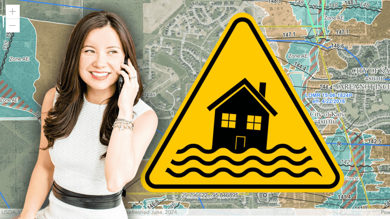
Flood Maps are Elevation Driven
It's important for you to know that the FEMA flood maps that are largely available are topography-based. That is to say that the risk of flooding in any certain area is based largely on the elevation of that specific location. Many of these FEMA maps haven't been redrawn since 2009 or 2014, which means when you're looking at these maps, it may well look like any home built within the last 10-15 years was built squarely in a high risk area. This information is likely an inaccurate reflection of the specific elevation of the home, relative to the terrain or topography shown on maps that are 10-15 years old.
Ordinances in Place from Counties, Cities, and Flood Control
Builders and developers are required by county and city ordinances to amend or grade the land higher than a "base flood elevation." It is highly unlikely that a new construction home is actually built at an elevation that would put it at a high risk (1% flood risk in any year) of taking on water. For instance, Harris, Fort Bend, and Waller Counties here on the west side have published standards that require residential properties have base elevations in a 500-year floodplain (0.2% flood risk in any year) or higher. In English, that means that these areas have to be graded or raised out of the floodplains with physical dirt.
It's especially important to keep this in mind for new construciton, since the 2009-2014 FEMA maps will not necessarily show HOW the builders amended the land before they built on it. If you pull up specific homes on flood maps in neighborhoods like Bridgeland, Elyson, Cane Island, or Jordan Ranch, it might appear as though the builder plopped a home right in or hear hazardous areas, but in reality, these homes have been built uniformly higher than any flood elevation, usually at least by 18-24".
What's Graded Up Must Be Dug Down
It's important to know these builders can't just grade all land higher and not consider what that does to water runoff. You certainly don't want to just build higher without creating a place for the water to go. This obviously continues to be the central focus for real estate in Houston in the aftermath of Hurricane Harvey.
Through many conversations with developers, county comptrollers, flood control districts, I've learned that builders must dig down in direct proportion to the cubic volume that they grade up. Put differently, when you see pretty "lakes" in master planned communities, I can all but guarantee those are flood retention ponds. Developers got smart and made the flood retention ponds that they're required to have for water runoff aesthetically pleasing. No one is smarter than the marketing guru that renamed a "retention pond" a "water front view" by placing some strategic fountains and planting some nice vegetation. In what must be the best single stroke of marketing genius, these developers were able to charge $50K-$100K premiums for the "water views" that they're required to have for flood control.
No Real Way to Know to Test Theory
What the Houston Chronicle article is absolutely correct about is that there is no real way to know if these flood mitigation efforts are going to work until a flooding event comes. I can say that I personally hold opinions that master planned communities developed by reputable companies like Newland Communities, Johnson Development, Rise Communities, and Howard Hughes Corportation are fare more likely to have done things correctly. I personally hold skepticism on the smaller pocket neighborhoods that only have 100-200 homes.
If you want to hear my full thoughts on the topic, please head over to our YouTube channel and watch the video!
Reference: Houston Chronicle Article
Connect with us on our social media platforms for additional valuable information about the area.
• Instagram: @carolynbauerschlag
• Youtube: @homeswithcarolyn
As your trusted real estate resource in Katy, I'm here to help you find your dream home. Thinking about making the move? Contact me today!
📞 Call or text: (281) 235-0390
📧 Email: [email protected]
💻 Website: www.homeswithcarolyn.com
Carolyn Bauerschlag
Broker Associate, CPA
Brokered by Compass RE Texas LLC